By Tony Agresta, Vice President of Marketing at Nearmap
Shopping centers can be costly endeavors for developers. Between scouting locations and attracting tenants to the completed center, saving time and money at each step can significantly improve the profitability of a development.
Aerial maps can be used across the entire life cycle of developing a center from inception to expansion. These steps include:
- Identification of suitable land. Rather than drive to sites, the ability to instantly access and survey dozens or hundreds of potential sites across massive geographies saves time when evaluating land for potential builds. It also cuts down on the cost of sending employees to review and can mitigate risks by keeping them away from potentially dangerous sites. Site analysis using aerial maps allows developers to get an instant initial assessment of development costs, presence of water, vegetation, accessibility and the impact on neighboring communities.
- Shopping center design. Aerial maps created at sub three-inch resolution are clear and current. They show details that satellite imagery cannot provide while also identifying the location of points on the earth’s surface within 15-centimeter horizontal accuracy for a single photo. Oftentimes, organizations combine their own field surveys with aerial imagery creating survey-grade maps used in engineering. In other words, designers and architects can conceptualize the building and plan while engineers ready the maps for the construction teams.
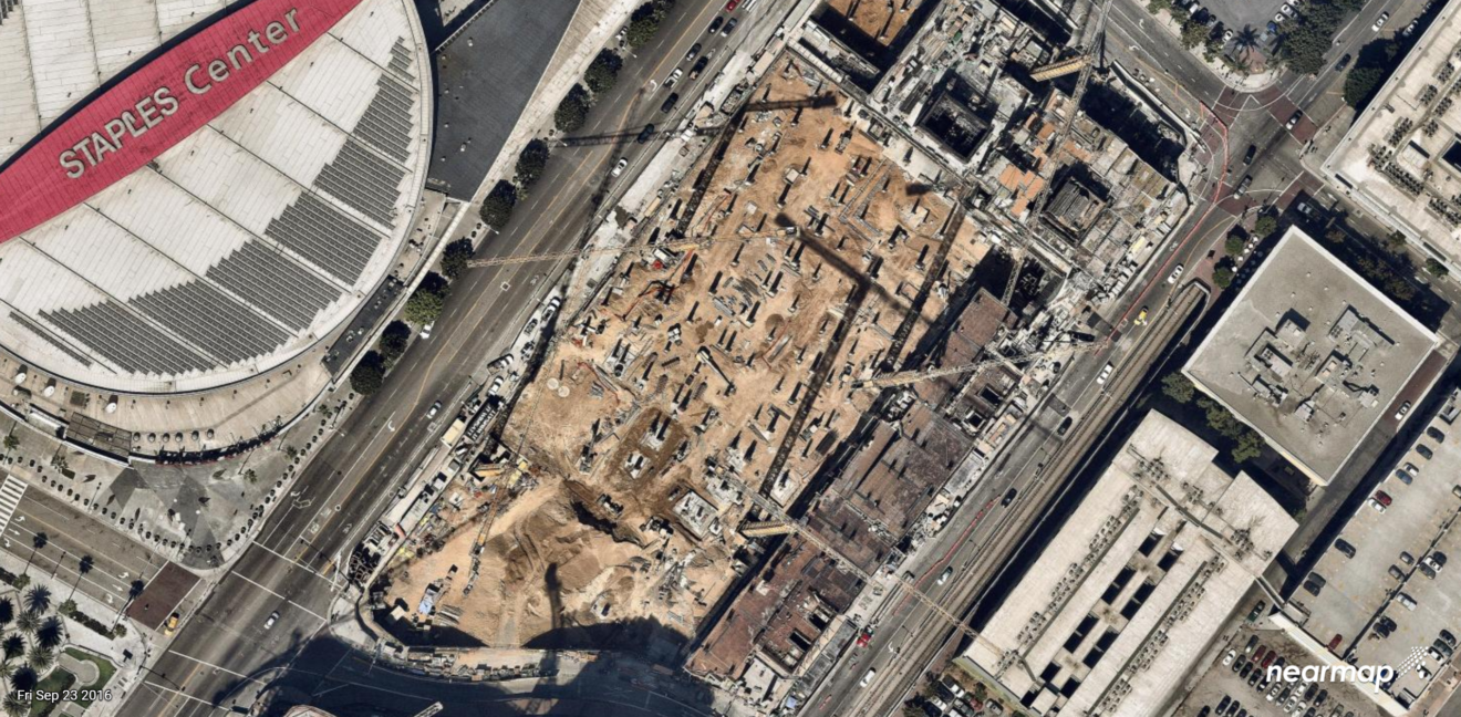
- Collaborative construction. Accurate positioning from the beginning can save costly reworks down the line. Survey-grade aerial maps ensure construction is occurring in exactly the right spot on the site. Aerial images also help create better collaboration between the engineering and construction teams since they’re working from the exact same information. Since aerial maps are captured at least two times per year and come with an historical archive of imagery, construction companies can see how the site is changing on a regular basis.
- Maintaining the shopping center Site managers use a combination of top down, vertical imagery and panorama imagery photographed from an angled perspective to visualize the details over time. They can analyze changes, prioritize repair work and assess resource requirements – all from their desktops or tablets. They can also schedule such repairs together to save on labor time and costs.
- Expansion. Eventually upgrades, site configuration changes or expansions may be necessary. Using aerial imagery can streamline the process for planners and designers by providing up-to-date information on infrastructure, road changes, building changes and other things that may be different since the initial design and construction.
Integrating high-resolution aerial maps into geographic information systems (GIS) and computer-aided design (CAD) systems can help commercial property brokers as well. For example, NewQuest Properties, a Houston-based commercial real estate company, uses aerial maps to enhance their marketing materials. Because brokers have current, accurate maps, they’re able to see changes to surrounding infrastructure and businesses, making it easier to market properties to clients and reducing time spent on-site for reviews and assessments.
Using accurate, high-resolution images can help collaboration across the project team and life cycle of shopping center development. By streamlining the work process, developers can save time and money, making their projects more efficient and improving the bottom line when developing large, complex projects. Ongoing use can speed maintenance by identifying issues earlier and make sure centers are making the most of existing surroundings.
To learn more about how imagery is helping business and government today, visit https://go.nearmap.com/. You can also request a free project review for an area of your choice.
Nearmap will be showing its latest imagery at RECon 2018 May 20-23. Visit Booth N1032 in the Marketplace Mall at the Las Vegas Convention Center to see your current shopping center project.
Tony Agresta is VP of Marketing for Nearmap’s US division. He has more than 30 years of experience working closely with customers, industry experts and governments on the use of technology to improve efficiency and save money.
